This is my favorite time of year. Early summer corn season at Shasta! As usual, I was jibbing solo. The plan was to head to the east side. I didn’t really have a plan beyond that, just trying to get some good turns. Ended up skiing something a bit different than usual. The hunt for good corn was a success!
Seracs on the Hotlum Glacier.
The south side looked to still be in good shape on the way in.
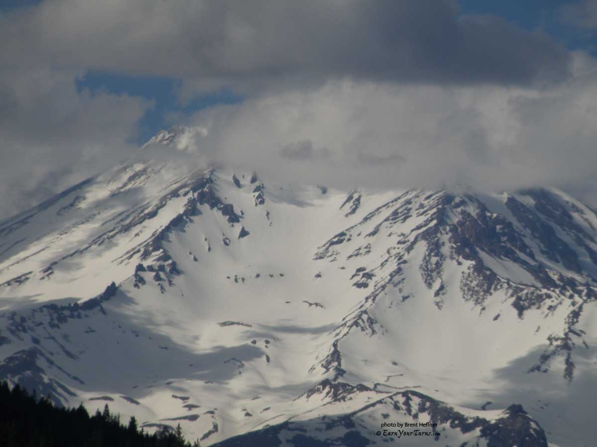
Avalanche Gulch from Interstate 5
Grabbed a bite to eat in town and headed on over to the Brewer Creek TH. Found the usual snow drift chillin’ in the usual spot about a mile before the TH, just before the last switch back. Several vehicles were there when I arrived. Robin (telewoman) was there with a friend. They had skied that day and were camping out and skiing the next day as well.
View of the Hotlum from Brewer Creek trailhead road
Good to see you again, Robin! We hung out for a bit watching the light change on the mountain. The afternoon buildup was dissipating. We watched the clouds billow over the mountain and the snow light up with the evenings alpenglow.
I really had no plan other than hiking up the drainage and finding skinnable snow. The main route up the snow field between the Wintun and Hotlum Glaciers would be fine, but in the back of my mind, I really wanted something different.
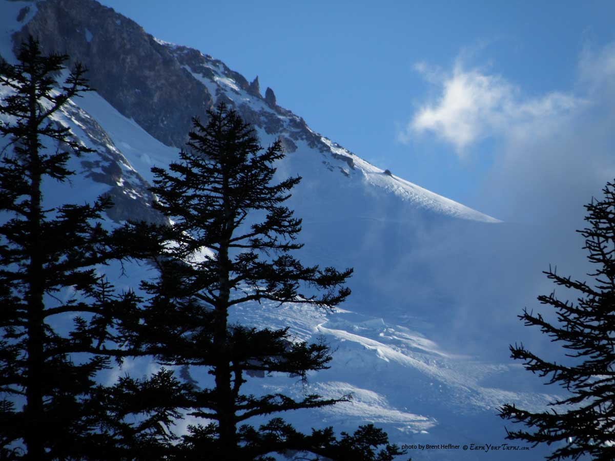
Sneak peak through the trees.
Stuffed my sleeping bag into my bivy sack and crashed out shortly after dark. Woke up the next morning to the faint sound of my watch alarm. It was cooler than I had anticipated, 33°, just a hair above freezing. I arrived too late for a real early morning, so a 5am jib departure was going to have to work.
I hiked up the deep gully. Only a few patches of snow down by the vehicles. The gully usually holds snow for awhile, but not enough to skin up this time. The snow was thin in the woods, so I continued hiking up the patches. By the time the patches connected, I was in a groove, so I jibbed on with the skis on my back. The Voile Vector/Plum setup is so light, I barely felt the weight.

Time to skin.
Hiked up for about an hour before I went to skins. The mountain was coming into view through the trees.

Wintun Glacier (L), Hotlum Glacier (R)

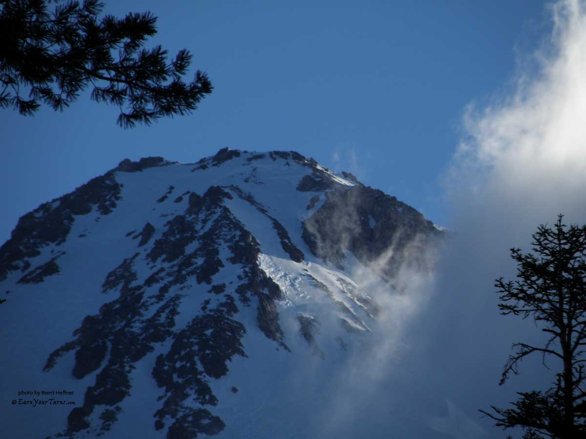
A view of the upper mountain.

Wind scoured snow above the Lower Headwall.
As I was skinning up, the Hotlum Glacier looked really good. I was right above the TH, in the woods and knew I had to traverse hikers left to catch the main route. It didn’t look like the snow patches in the drainages connected. I decided to stay right and see if I could hook up with the Hotlum.

The Upper Headwall and Hotlum Glacier.
More backcountry adventure on Mt. Shasta on Page 2
© 2012
(continued from page 1)
Touring up Mt. Shasta’s Hotlum Glacier

A wet sluff on the Wintun.
Up to the large moraine and under the steeps to the right. More of a north facing aspect holds the snow longer over here. I could see the snow continuing on up and reaching the horizon above the North Gate route with a route up the right side of the Hotlum Glacier. The steep slopes coming off the moraine above me would be a great run on the way back. I stayed low and skinned along with my right lifter on high and the left one on low. The snow was icier here, but the skins gripped just enough to send me up and up to the horizon on the right.

Last shot of the upper Hotune route.
I was moving along at a good clip and the views started to change. The main route up the east side started to disappear.

The upper Hotlum Glacier and headwall to the summit.
I skinned up to the horizon. I thought there might be a route left, through to the lower portion of the Hotlum Glacier, but had to continue up and to the right since the upper portion of Gravel Creek was snow covered.
Onward to the horizon.

Looking up the Hotlum Glacier.
Just to my left a the slope looked like it accessed the lower portion of the Hotlum. I was at about 10,000 ft. A quick nap was in order, so I lay down for about 15 minutes and recharged. When I awoke I switched to crampons and hiked up the slope. Sure enough, I was standing at the bottom of the Hotlum Glacier.

The Chicago Glacier.
After cramponing up the icy north-facing slope, the top was more flat and facing straight up, perfect for skinning, especially since the snow was corn. I put the skins back on and jibbed up the right side of the glacier. The glacier was spectacular!

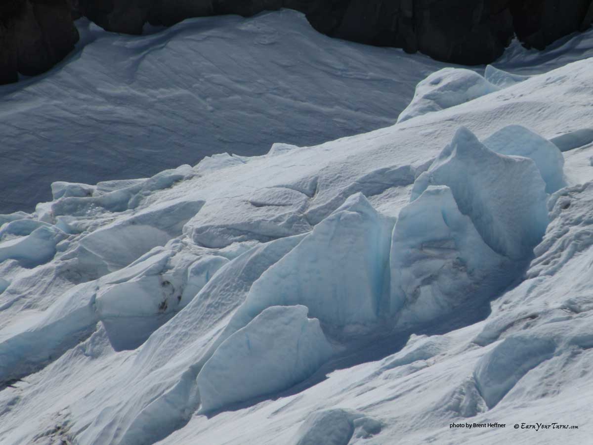
Seracs on the Hotlum.

...and more seracs...

...and further up the Hotlum Glacier, more seracs.
The snow was soft and buttery along side the glacier. When I got down to the first ‘window’, I dropped left, off the ridge and got some north facing corn on the Chicago Glacier. I then looped around to the right and honey-combed my way down the steeps.
I started the camera rolling for the descent and stopped a few times mid-video to take a few still shots.

My route.
I took almost 100 pictures. The full set can be viewed here:
Jibmaster’s Flickr archives on Hotlum Glacier Ski Tour
Related Posts:
Shasta via Coquette FallsTH
Shasta via Brewer Creek
Sick Trip to Shasta
© 2012